
Reading Neighbors Block Sources
Public sources answer different block questions in Reading. The Berks map establishes nearby parcel geometry and address-point context. The assessment result identifies an assessed owner, while Recorder documents supply recorded land-history details. Election Services has a formal channel for certain street listings, but the individual state registration tool is not a public block browser. City permit and code files may be requested by address. Community groups add neighborhood context, not a roll of households.
| Source | What it shows about a block | Access and limit |
|---|---|---|
| Berks GIS parcel viewer | Parcel shape, address points, roads, and boundary context | Public map; no dedicated neighbor list. |
| Assessment and Recorder | Assessed owner and recorded parcel history | Review each parcel and document individually. |
| Berks Election Services | Formal route for some specialized street listings | Statutory request and permitted-use affirmation required. |
| Reading property records | Address-specific permits, inspection, code, or City action | Small direct request or Right-to-Know process. |
| Reading civic groups | Participation and historic-neighborhood context | No verified public member roster. |
That division matters. A map pin is not an occupancy record, and an assessed owner is not automatically one of the Reading neighbors living at the property. Start with the address and preserve the parcel identifier before drawing any conclusion.
Map Reading Neighbors by Parcel
The County map is the first tool for an immediate block question because lots can meet at a side line, rear line, or corner even when street numbers appear out of sequence. Search the target site or emergency-services address, identify its address point and selected parcel, then pan to the touching or nearest polygons. The official help material identifies parcel, address-point, road, municipal boundary, county boundary, water, imagery, Measure, Draw, and Print tools.
The Berks County map search includes identify, point/freehand selection, and Buffer Select controls.
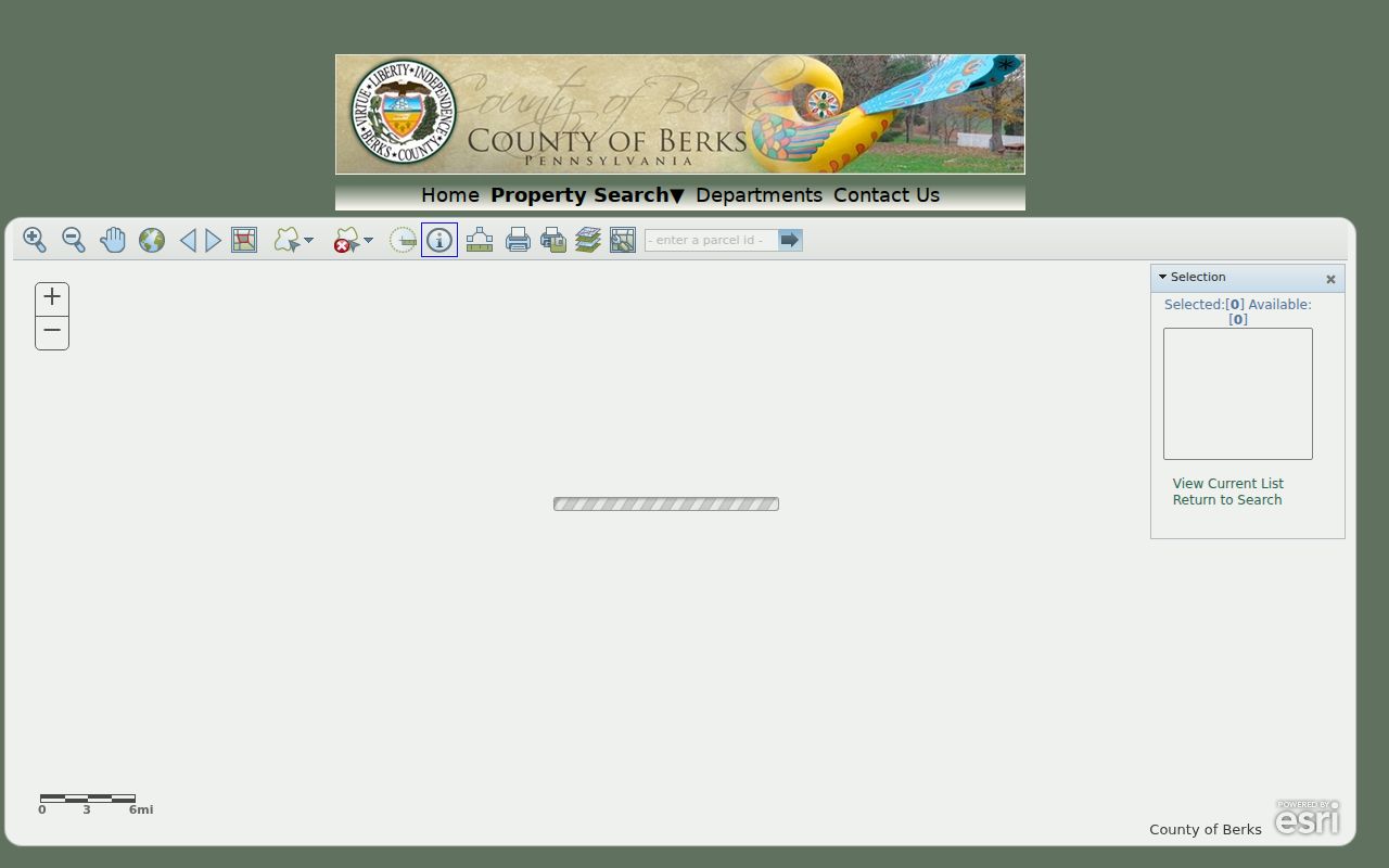
Use the displayed geometry to assemble a short parcel list. It is a map-reading step only, not evidence that the people associated with a nearby address are current occupants.
Reading Neighbor Buffer Selection
Berks documents a more careful adjacent-parcel method than simply scrolling along a street. Its current map-search page supports a Buffer Select with a default value of 100 and feet or meters choices, plus center-point or polygon selection and a selection list. Set a modest block-oriented area only after identifying the target parcel. A broad radius can pull parcels across alleys, irregular lots, or other features that are not the immediate block relationship sought.
- Locate the target address and use identify to confirm its selected parcel.
- Pan to shared side, rear, or corner parcels, or use Buffer Select only to create a manageable parcel list.
- Record each nearby parcel ID before opening a property result.
- Review an assessment record one parcel at a time, then compare a relevant recorded document for the parcel history.
The flow is address point to selected parcel to nearby parcel IDs to individual review. It prevents a false street-number shortcut. For a complete named-street chain rather than a block question, the Reading street directory uses the appropriate address-by-address workflow.
Reading Neighbors and Ownership Fields
Berks Assessment maintains ownership and assessment records and offers public searching by owner, street address, or parcel ID. Its legacy documentation also uses Property ID, PROPID or UPI, mapped PIN, site location, emergency-services address, municipality, and postal ZIP. Preserve the site address, parcel ID, municipality, and legal description. The legal description is the bridge to a deed when a numbered address has changed or a structure is subdivided.
| Field | What it can support |
|---|---|
| Situs or site address | The physical location being researched. |
| Owner field | The assessment owner of record, not a complete household list. |
| Mailing address | A tax-contact clue that may differ from the property location. |
| UPI or PROPID | A stable key for individual property and Recorder review. |
| Legal description | Lot, subdivision, or other land identifier used to compare deeds. |
A Berks Recorder record can confirm a recorded party and land-document history. It does not establish day-to-day presence at the address. Note: Keep ownership, tax contact, and physical location as separate facts when comparing records around a Reading block.
Reading Neighbors Street-List Requests
Berks Election Services, not the individual voter-status tool, is the documented route for specialized voter registration listings, street listings, labels, and related data. The County provides a written public-information request form and requires an affirmation under 25 Pa.C.S. §§ 1207(b) and 1404. The rules matter because the information may be used only for the statutory purposes set out on the request, not as an open neighborhood browse or a file for republication.
The state registration-status service helps an elector check their own registration and polling-place information. It should not be used to test names around a block. Ask Berks Election Services about the available product, permitted use, delivery method, and any current fee before submitting a request. No general public map of registered voters on a Reading block was verified in the research.
Reading Neighbors Civic Connections
Neighborhood organizations can help with local history and civic participation, but they are not directories of Reading neighbors. The City’s planning material identifies the 18th Wonder Improvement Association as a consulted neighborhood association. Its public site identifies Millmont, Oakbrook, and Wyomissing Park coverage, while the visible directory is business-only. City community material also names the South of Penn Task Force. These groups can orient a block inquiry without identifying households.
The 18th Wonder Improvement Association provides neighborhood context.
The public materials support an area-level understanding. They do not authorize a claim that a listed participant, business, or contact represents everyone on a block.
| Local channel | Documented role | Directory status |
|---|---|---|
| 18th Wonder Improvement Association | Planning and neighborhood context for Millmont, Oakbrook, and Wyomissing Park | No official public household roster located. |
| South of Penn Task Force | City “Super Neighbor” community participation context | No official public household roster located. |
| Adopt-A-Block | City participation channel for people and organizations | No membership directory published. |
Reading Neighbors at Centre Park
Centre Park offers a different type of neighborhood context. Its published historic-district bounds include Centre Avenue, North Fifth Street, Charles Evans Cemetery, and the Lebanon Valley Railroad. City minutes identify Centre Park as the active historic district with an association. That can help a researcher understand a parcel’s historic setting, potential review context, or a search for archival materials. It does not provide a list of residents or association members.
The Centre Park Historic District association page supplies its published contact channel and area context.
For historic property questions, compare the parcel map and Recorder legal description with library or archive material. An association boundary is not proof that a particular person lives within it.
Reading Neighbor City Records
Address-specific City records can add a dated property event to a block inquiry. Reading’s Right-to-Know materials identify permits, certificates of occupancy, stop-work orders, maintenance inspection reports, and violation notices as categories that may be requested by address. These can describe municipal activity, construction timing, an applicant, or a responsible party where a released record says so. They do not identify everyone connected with a nearby home.
For a small request, City Hall allows no more than three separate records or three properties within 24 hours. A broader inquiry may need a written Right-to-Know request, may involve a fee or response period, and should state the addresses, record category, and date range. The City department or RTKL process is the documented fallback when there is no open block database.
Reading Neighbor Privacy Limits
Living nearby does not turn private data into block data. Household members, children, utility subscribers, delivery information, DMV addresses, unlisted phone customers, protected voters, and sealed court material are not made public by parcel proximity. Pennsylvania’s Address Confidentiality Program, also called Safe at Home, supplies a substitute mailing address to qualifying survivors. It does not erase every public record, but it is an important reason to stop rather than try to connect protected address information.
The Pennsylvania Address Confidentiality Program explains the official substitute-address route.
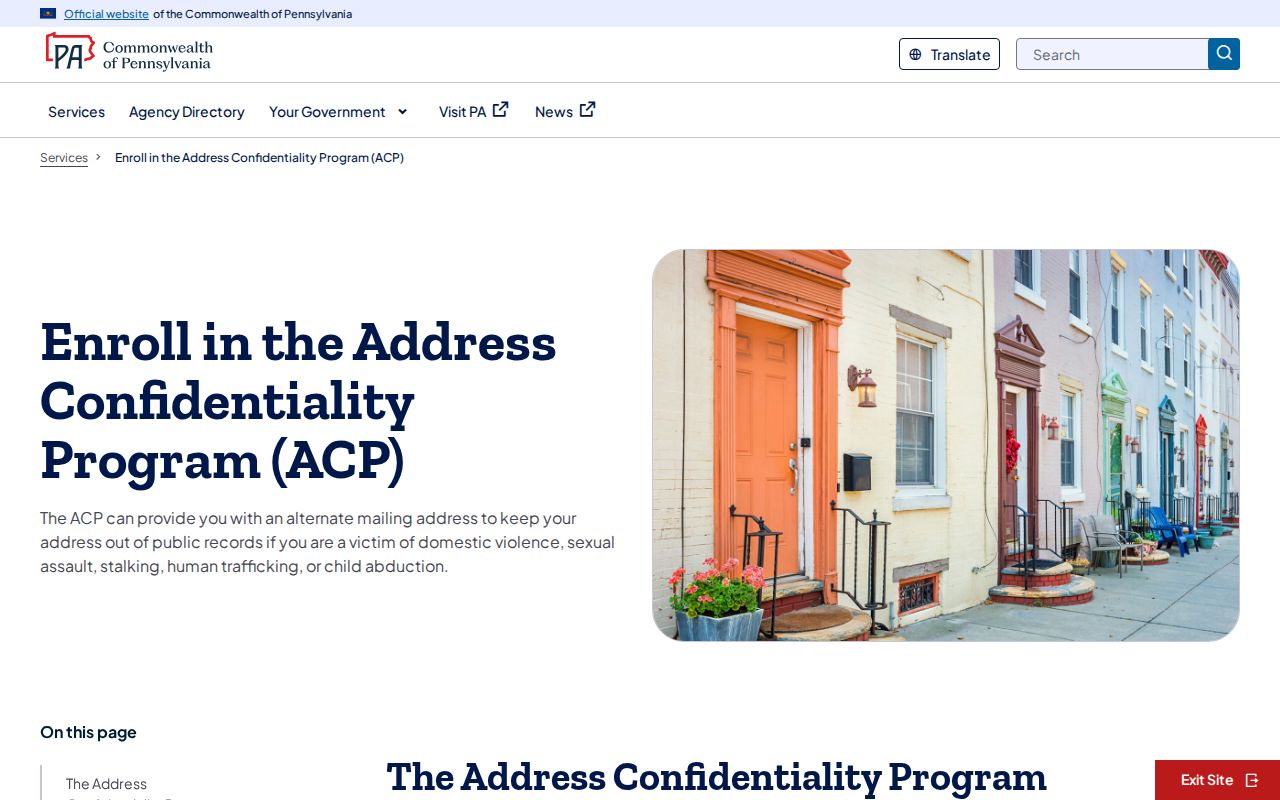
When a record appears wrong, retain the document number and date and contact the office that created it. Assessment handles assessed data, the Recorder handles recorded land documents, Election Services handles voter records, and City departments handle City-held material.
The Pennsylvania State Police Megan’s Law public website is a limited public-safety registry with its own statutory warnings and use rules.
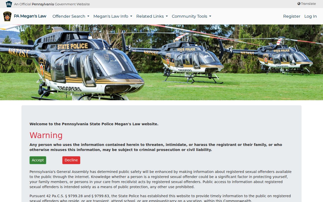
A registry result cannot establish a block’s household composition or conclusively identify a person without the checks the official source requires.
Official Tools for Reading Neighbors
Official sources separate map geometry, ownership history, City files, and voter-list procedures. Commercial neighbor-lookup products commonly combine material from many sources, may be stale or misattributed, and cannot replace the office that holds the record. A careful Reading neighbor inquiry keeps the source attached to the claim instead of building an assumed profile from unrelated entries.
| Official Reading route | Commercial compiled tools | Practical choice |
|---|---|---|
| Shows the custodian, record type, and documented access channel | May combine data of different dates and sources | Verify each fact with the named custodian. |
| County map distinguishes parcel geometry from records | May present nearby names without parcel context | Start with the property location and parcel ID. |
| Election Services requires a statutory request for street materials | Does not alter the legal limits on use or publication | Use the County request route when permitted. |
When online tools stop, the fallback chain is clear: the County property-records page and Recorder for parcel work, Election Services for permitted election materials, the City department or Right-to-Know officer for City files, and local libraries or historical organizations for older neighborhood context. Each channel has a different boundary, and none is a universal list of Reading neighbors.