
Search a Reading Street by Address
A useful street search begins with the property, not a name. In Reading, the strongest sequence is an assessment result, map location, recorded-document trail, lawful civic-record request, and historical directory lead. Each source answers a narrower question. Assessment identifies the parcel and assessed owner. The map places that parcel among the road and adjoining lots. A deed records parties to a land transaction. A properly requested election list or a historic telephone book may add a different clue, but neither turns the chain into a roster of everyone at an address. Keep the exact street form, unit information when known, parcel identifier, and document date together as the work proceeds.
- Run the full address through the Berks Property Records Search. Save the site address, assessed-owner field, parcel or UPI identifier, and legal description shown for the matched property.
- Use the County map route to confirm the address point and parcel geometry. This helps distinguish a corner, alley, or irregular lot from a simple street-number sequence.
- Carry the owner name, parcel identifier, and legal description to the Berks Recorder Official Record Search. Search the present owner as a grantee, then use the deed image and prior reference to work backward.
- For an official street-list question, contact Berks Election Services through its written request route. The individual state status tool is for a person checking their own registration, not browsing a block.
- For an older household lead, ask the Reading Public Library Pennsylvania Room for a street, reverse, criss-cross, or householder section for the year at issue. The historical collection work is also described on the Reading directory book page.
That order limits false matches. A current assessed owner may be an organization or an off-site contact, while a recorded party may describe a past transfer. The Reading street directory is most useful when the result is labeled by what the source actually establishes.
Reading Street Directory Parcel Search
Berks County makes its current property system the front door for address work. Basic Search offers Owner, Street Address, and Parcel ID routes, while Map Search adds a visual way to locate the parcel. County legacy materials use related labels such as Property ID, PROPID, UPI, Map PIN, site location, emergency-services location, municipality, and postal ZIP Code. A ZIP can narrow map work, but it is not proof that an address lies inside the City of Reading. The stable County property-records landing page is the safer starting point when a saved direct-search link changes.
| Berks search field | Input type | How it helps a street search |
|---|---|---|
| Owner | Optional text | Finds an assessed-owner record when a name is already known. |
| Street Address | Optional address text | Matches the physical site address to an assessment record. |
| Parcel ID | Optional text | Connects an address result to the County property identifier. |
| PROPID / UPI | Optional identifier | Legacy terminology for the property identifier used in parcel work. |
| Mapped PIN | Optional identifier | Opens a separate mapped-parcel route in legacy materials. |
| Assessment Site Location | Optional address text | Targets the assessment location rather than a contact address. |
| Municipality and Postal ZIP | Optional map filters | Provide geographic context, subject to Reading boundary exceptions. |
- Parcel
- A defined piece of land recorded and mapped by the County. It is the basic unit that connects assessment, map, and deed records.
- Situs address
- The physical site location of the property. It can differ from an owner contact or tax mailing address.
- Plat
- A recorded plan or map that can show lots, blocks, subdivision layout, or other land divisions.
- Criss-cross directory
- A historical directory arranged by address or street rather than solely by personal name, when a volume includes that section.
The archived Berks parcel-search screen documents the older owner, property-ID, map-PIN, and site-location routes.
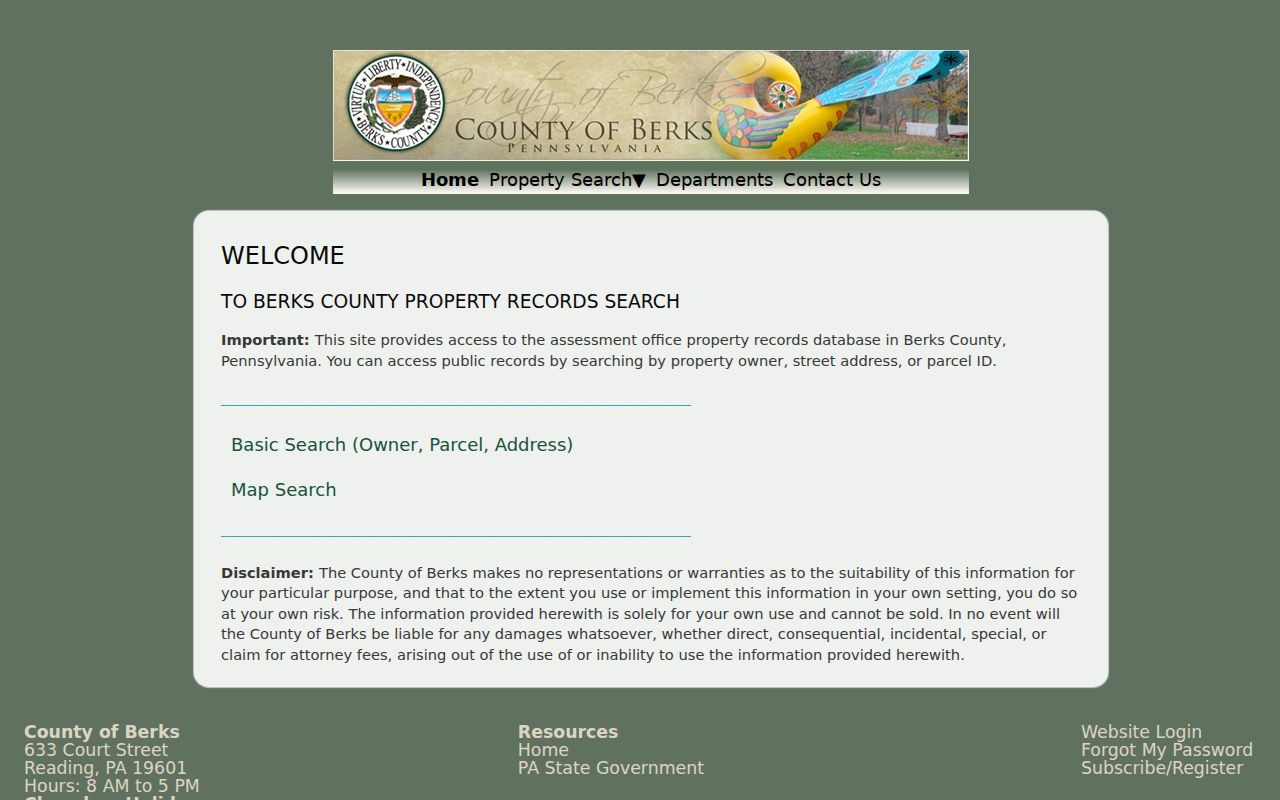
Its labels remain helpful when an older property reference uses a legacy identifier, even though the County directs current users through its property-records system.
Note: Assessment maintains ownership and value records, but it does not issue tax bills or collect current taxes.
Reading Street Map Controls
The parcel viewer provides the spatial part of the Reading street directory. Its documented layers include parcels, address points, roads, municipal and County boundaries, water, and aerial imagery. Search an address point first, then identify the parcel selected by that point. Layer List, Basemap, Bookmarks, Measure, Print, and Draw tools help orient a short street segment. They do not produce a resident list. The map is most useful for testing whether two address results concern the same parcel or parcels that only appear close when viewed as street numbers.
The County property-records and parcel-viewer route is the current entry point for the assessment search and map tools.
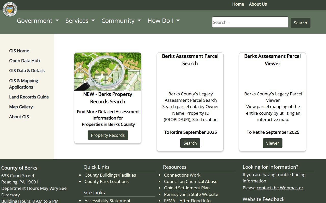
Use the result to carry one parcel at a time into the assessment record and Recorder index, rather than treating a screen of nearby markers as household evidence.
The official parcel-viewer control reference records the County's address, layer, measurement, print, and basemap tools.
Boundary layers are especially useful near a City edge, where a mailing locality and the parcel's municipality can be different geographic facts.
Reading Street Directory Records
Address-keyed records form a chain, but their limits matter as much as their contents. A parcel record can identify an assessed owner and a situs address. A GIS layer can place the lot on the street. A Recorder document can identify recorded parties and a legal description. City files can date a property event. Election Services offers a lawful request route for certain lists. Historical library sources can supply a past listing. Those are separate record sets, not interchangeable proof of a present household.
| Reading street record | Custodian | Address question answered | Access channel |
|---|---|---|---|
| Assessment property record | Berks Assessment Office | Which parcel and assessed owner match the site? | Owner, address, or parcel search; counter and phone. |
| Parcel map and address point | Berks GIS | Where is the parcel in relation to the street? | County map viewer and documented map tools. |
| Deed, mortgage, plan, or lien | Recorder of Deeds | Which real-property document and parties are recorded? | Online index/images, counter, phone, and mail copy request. |
| Permit, certificate, or notice | Reading City departments | What address-specific municipal property record exists? | Department request or Right-to-Know request. |
| Specialized street list | Berks Election Services | Is an authorized election record available by request? | Written form, identification, fee quote, and statutory affirmation. |
| Telephone books and maps | Reading Public Library and local archives | Who was listed at or near an address in a stated era? | Reference shelf, staff assistance, and archival research channels. |
The parcel identifier is the practical bridge. Since January 2, 2013, Berks County requires a parcel ID on real-estate-related recorded documents, which makes current parcel-to-document matching more direct. Earlier Reading work may require a lot, block, subdivision name, book and page citation, or legal-description comparison. In every period, a street name alone is a weak join.
Note: Save the source date and document number with every result, because later map layers and ownership fields can change.
Reading Street Deed Trail
After the parcel search, the Recorder becomes the deeper Reading street directory source. Berks says its computerized index and images reach documents recorded since the County began in 1752. Start with the current owner or organization as grantee, then narrow by recorded-date range, document term, parcel ID, municipality, or property address where appropriate. The advanced interface also documents volume, book, page, document-number, and OCR phrase routes. Open the deed image, copy the legal description and prior-recording reference, then search the seller as an earlier grantee. That sequence follows land ownership without equating any recorded party with a current occupant.
Older material needs a different pace. The Recorder reports original books for 1752 through 1953, microfilm originals for 1953 through 2004, and digital retention from 2004 forward. Pre-1926 deeds may require Index Books that group similar-sounding names, so spelling variants, legal descriptions, and counter help matter more than an OCR result. Copies are available online, at the third-floor Services Center counter, or by mail with the required fee and self-addressed stamped envelope. Call the Recorder at 610-478-3380 before a complex historical request.
The Berks Assessment Office property-record resources show the County entry point for ownership and parcel work that should precede a deed search.
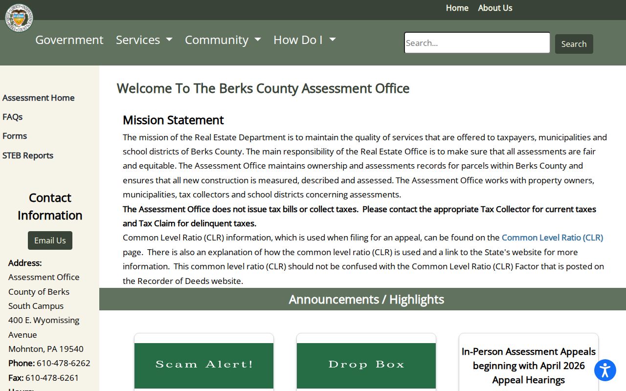
Use the assessment result as a lead, then confirm the parcel trail against the Recorder image and its legal description before drawing a conclusion about a Reading property.
Reading Street ZIP Edge Checks
Delivery ZIPs are not legal boundary lines. Reading's official address-boundary table covers 19601 through 19611 and separately identifies 19603 and 19612 as post-office-box codes. It also lists street and number-range exceptions where the service ZIP crosses the City edge. A result carrying a Reading mailing line, a parcel mailing ZIP, or a map filter should therefore be checked against the exact street number, municipality, and parcel. That is a local geography issue, not a flaw in the address search.
The City of Reading ZIP and address-boundary exception list is the source for the detailed street-by-street and number-range exceptions. It describes 19605, 19606, 19607, and 19610 as codes that cross the City edge in particular pockets. For delivery confirmation, use a complete physical address with USPS and compare that result to the City list and County parcel map. Never assign a property or person to a City jurisdiction from a PO-box ZIP.
Note: The City's exception table uses “up” and “down” for address-number direction, not compass direction.
Reading Street Voter Requests
Election records have a narrow, regulated place in a street-by-street search. Pennsylvania's online registration-status service is an individual service for an elector to check registration and polling information. It is not an open street browser. Berks Election Services, at the County Services Center, is the local custodian for formal specialized registration lists, street listings, labels, and electronic database materials. The request form asks for the information sought and includes an affirmation about permitted use.
Pennsylvania law governs the release and use of this material through 25 Pa.C.S. §§ 1207(b) and 1404. The available records can concern registration address, party, status, precinct or district, and participation history, but they do not reveal ballot selections. Protected participants and confidential identifiers remain outside the lawful street-list route. Ask Election Services for the current fee and delivery choice because the County form inspected for this research does not publish a fixed price. A formal list is a civic record with conditions, not a Reading street directory substitute.
Reading Street Permit Files
City property files can add dates that land documents do not. Reading identifies permits, certificates of occupancy, stop-work orders, maintenance inspection reports, and violation notices among address-specific records that may be requested from the relevant department. These records can establish that a City department interacted with a property or that work, an inspection, or a code event was recorded. They do not establish a full household history or show every person connected with the address.
Start with the relevant City department for a small, precise request. The City limits direct requests to three separate records or properties per day, so a broader street project calls for a focused written request under the Pennsylvania Right-to-Know Law. Give the street address, record type, and date range. Reading's policy requires a named, signed request and does not require the City to create a new compiled list. When the purpose shifts from a street segment to verifying a single name through several sources, use the Reading resident lookup page.
Reading Street Names Before 1833
Historic address work in Reading benefits from an older map and land-description check. The City comprehensive-plan history says Reading was surveyed and laid out in 1748 with 520 lots and 204 outlots. Penn Street was the east-west spine, and Fifth Street was once called Callowhill. Many street names changed in 1833. Those details matter when a deed, map, or old telephone book uses a name that does not match a present map.
Do not assume a current number and street name existed in the same form centuries ago. Preserve the legal description, subdivision or lot reference, and historic map context before joining an older entry to a modern parcel. There is no verified research finding of a Citywide renumbering year, so an apparent number change should be treated as a question to verify, not a shortcut to a match.
Reading Street Historical Leads
The Pennsylvania Room is the local non-government path for a historic Reading street search. Its verified holdings include archived City telephone directories and books, Berks County suburban telephone directories, maps, census, church and cemetery material, yearbooks, and Reading Eagle access. The public holdings page does not publish an exact reverse-directory run. Ask staff for the year, address, and surname, then ask whether a reverse, criss-cross, householder, street, or classified section exists for that volume. A missing name in a telephone book is not proof that a person was absent.
Maps and archives help test the result. The Library of Congress has Reading Sanborn maps from 1887 and 1920 that can establish a building footprint, street layout, or map-era use, but not a roster of residents. Federal census records are publicly available through 1950 and can add household evidence for the applicable era. For a hard-to-resolve historical land question, the Pennsylvania State Archives also lists Berks deeds, tax material, and grantor-grantee indices on microfilm. Keep the volume, page, map sheet, document number, and source date so the trail can be checked again.
Note: The library's public page confirms historical telephone books, but not a continuous Reading reverse-directory run or its dates.
Reading Street Directory Limits
A Reading street directory cannot reveal every person connected with an address. Parcel and deed records concern land ownership and recorded transactions. A property mailing field can be a contact address rather than the physical site. City files may be redacted. Historical telephone books depend on subscriber and publication practices. DMV personal-address data is restricted by Pennsylvania law and the federal Driver's Privacy Protection Act. Utility, delivery, protected-voter, and confidential-address information are not public street-search tools.
Pennsylvania's Address Confidentiality Program supplies substitute mailing addresses for eligible survivors and intersects with election and address records. Court access rules also protect confidential identifiers. If a published property, assessed-data, City, or voter record appears factually wrong, retain the result and document number, then contact the custodian that created it. A correction request is not a way to obtain protected data. Never publish or repeat a sensitive address merely because a separate public source appears to contain it.
Lawful use. Reading street and address records are for personal, lawful research, family history, property questions, and civic understanding. Using any result to stalk, threaten, intimidate, or harass a person can bring criminal or civil consequences under Pennsylvania law.